Abstract
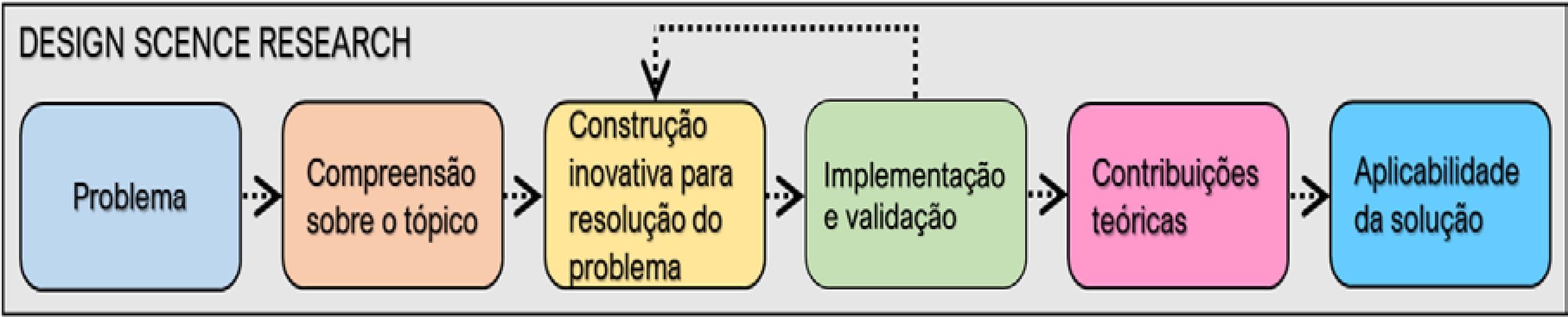
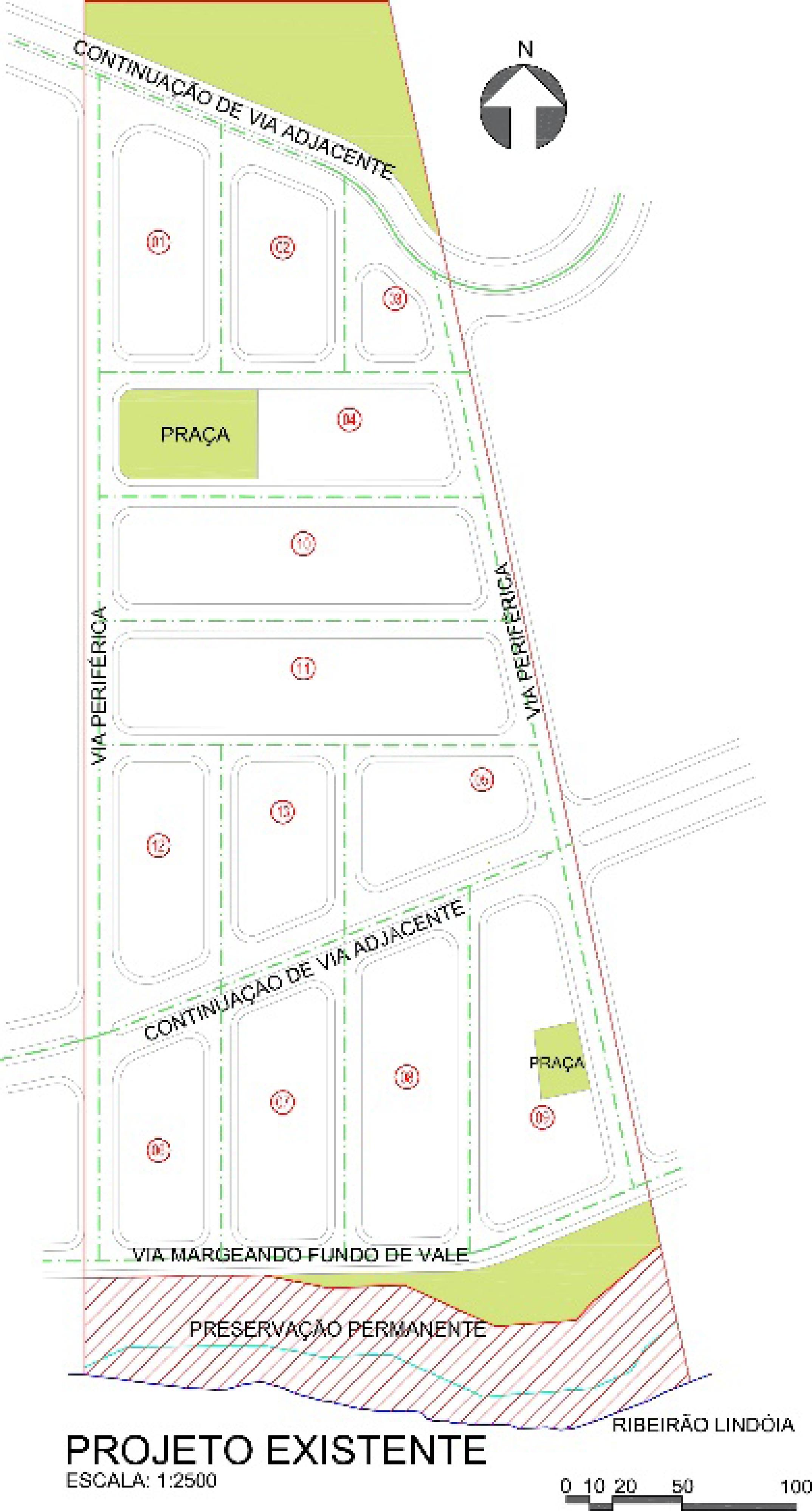
In land parceling design, a diversity of normative and user requirements that should be taken into account. Those include the relationships between topography, road system and cost. In this paper, the authors propose an associative model as a tool to visualise those relationships to support the decision-making process and the resolution of design problems. Following the Design Science Research Methodology, an artifact in the form of algorithms was created to make a visual representation of the topography of a lot and to allow real time feedback for the study of road layout proposals based on the assumption that urban infrastructure costs are mainly defined by the length of the roads. To apply and evaluate the artifact, a social housing project (SHP) was chosen as the object of study for which the parameters, variables and constraints were established, based on the information collected through a literature review. The study demonstrates the feasibility of associative systems as a decision-making aid to the SHP design process, especially in the initial stages of feasibility analysis and design conception.
Keywords:
Design method; Digital design; Associative design; Parametric design; Social housing projects