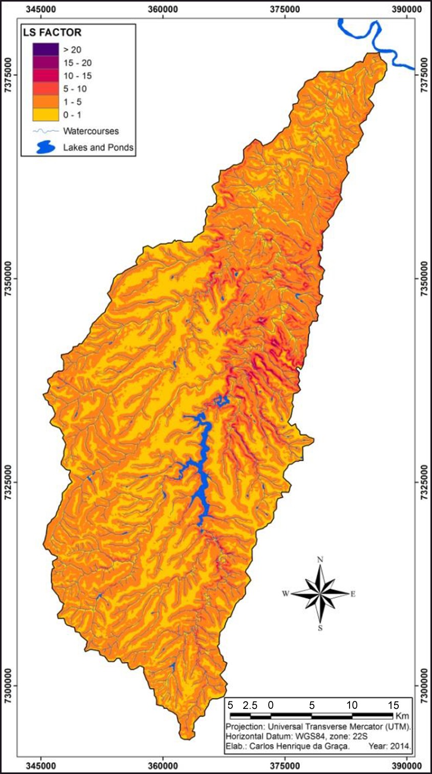
The multitemporal behavior of soil loss by surface water erosion in the hydrographic basin of the river Mourão in the center-western region of the Paraná state, Brazil, is analyzed. Forecast was based on the application of the Universal Soil Loss Equation (USLE) with the data integration and estimates within an Geography Information System (GIS) environment. Results had shown high mean annual rain erosivity (10,000 MJ.mm.ha–1.h–1.year–1), with great concentration in January and December. As a rule, soils have average erodibilities, exception of Dystroferric Red Latisol (low class) and Dystrophic Red Argisol (high class). Although the topographic factor was high (>20), rates lower than 1 were predominant. Main land uses comprise temporal crops and pasture throughout the years. The watershed showed a natural potential for low surface erosion. When related to usage types, yearly soil loss was also low (<50 ton.ha–1.year–1), with more critical scores that reach rates higher than 150 ton.ha–1.year–1. Soil loss over the years did not provide great distinctions in distribution standards, although it becames rather intensified in some sectors, especially in the center-eastern and southwestern sections of the watershed.
soil loss; USLE; GIS; river Mourão watershed

 Thumbnail
 Thumbnail
 Thumbnail
 Thumbnail
 Thumbnail
 Thumbnail
 Thumbnail
 Thumbnail
 Thumbnail
 Thumbnail


