 Populational choreography: historical cartography, politics and environment in the dispute between Piauí and Ceará surrounding the Ibiapaba mountain
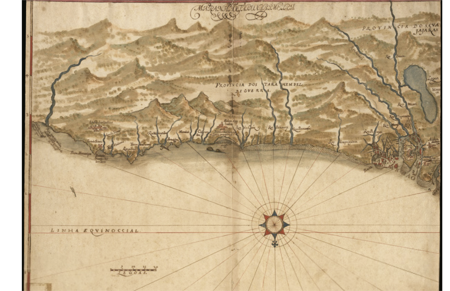
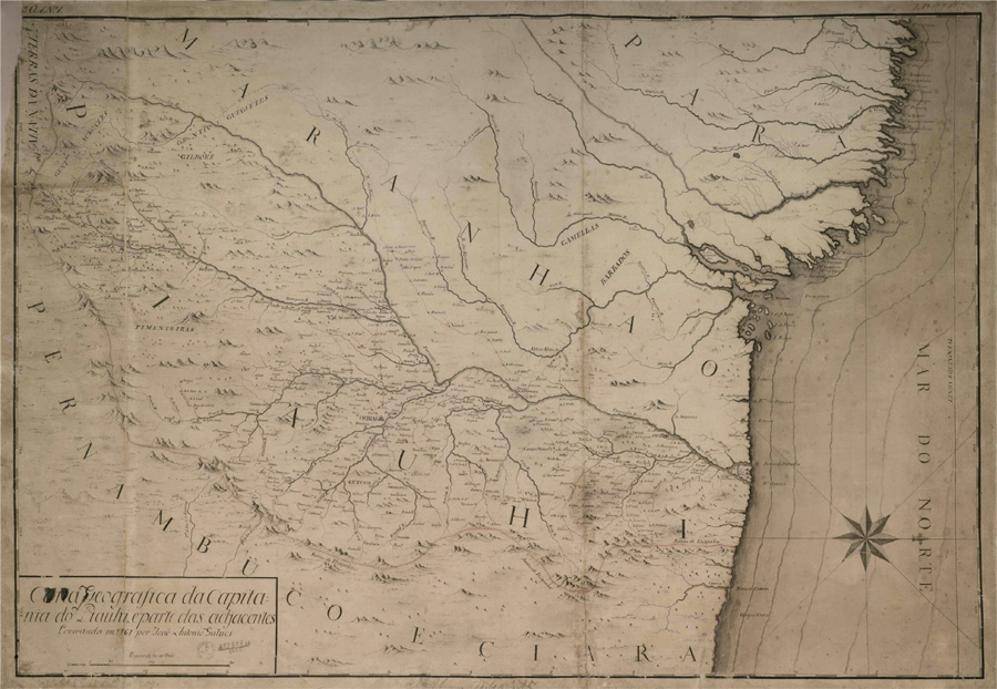
This article explores the uses of historical cartography in the territorial dispute between the states of Piauí and Ceará in a civil suit (1.831/2011) filed in Brazil’s Supreme Court. We base our analysis on historical maps from the seventeenth to the nineteenth centuries in order to understand continuities and transformations in how this region is represented. This analysis is then contrasted with documentation from the Overseas Historical Archive and the Brazilian Army’s Technical Report on the dispute in order to relate the active role played by the environment, political influences with representations of the zones involved in the dispute, showing how cartography still serves to “reflect the world.”
Keywords:
Historical cartography; Ceará and Piauí; Jurisdiction; Litigation; Jesuit missions
 Thumbnail
 Thumbnail