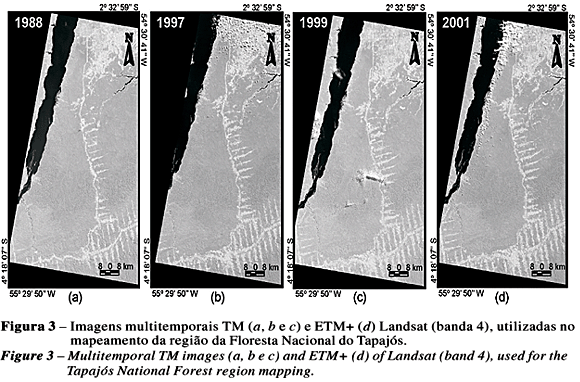
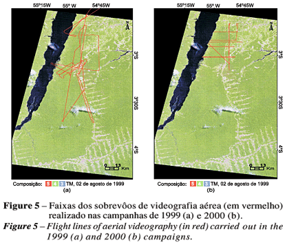
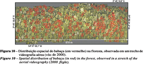
A vegetation cover mapping of Tapajós National Forest (FNT) in the State of Pará, by Landsat multitemporal images is presented. For mapping validation purposes, aerial videography images and field work survey were used. The confusion matrix analysis gave a 84.5% global classification accuracy and a kappa coefficient of 80.9%. The use of aerial videography mosaics and plots of field work survey allowed to characterize and to evaluate the quality of FNT region mapping.
Tapajós National Forest; Amazonia; remote sensing; geographic information system; aerial videography


