 Use of GPR - Ground Penetration Radar for detecting underground water distribution networks - case study: technical cadastre of COMPESA - Companhia Pernambucana de Saneamento
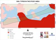
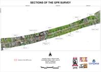
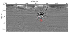
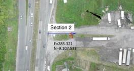
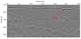
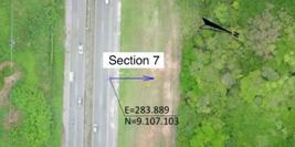
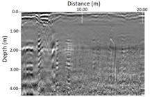
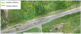
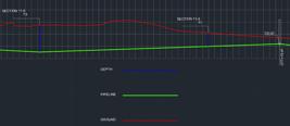
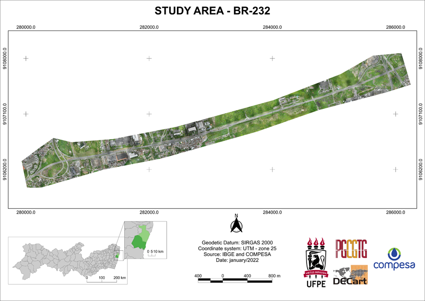
This research study deals with improving the network cadastre of a sanitation company through the inclusion of three-dimensional data in the geographic database, which can represent the embryo of a 3D cadastre. To investigate the collection and inclusion of the depth of underground pipelines, a methodology was tested for obtaining 3D data using the Ground Penetrating Radar - GPR, regarding the triplication project of highway BR-232, located in Recife-PE. The study noted that the GPR survey also had some limitations, due to the pedological, geological and topographic characteristics of the site, and that the electromagnetic properties of the soil and minerals also need consideration, as well as the characteristics of the terrain to carry out the displacement of the equipment on the ground. The results demonstrated that, despite the limitations found in the GPR survey, where there were sections in which it was not possible to identify the pipelines, for the application analyzed and for the tested study area, the use of georadar in obtaining pipeline depth data was considered satisfactory.
Keywords:
3D Cadastre; Ground Penetration Radar - GPR; Cadastre of water supply networks
 Thumbnail
 Thumbnail
 Thumbnail
 Thumbnail
 Thumbnail
 Thumbnail
 Thumbnail
 Thumbnail
 Thumbnail
 Thumbnail
 Thumbnail
 Thumbnail
 Thumbnail
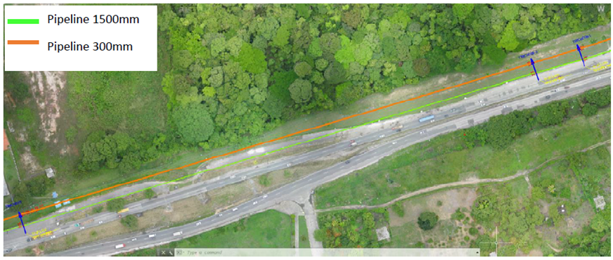
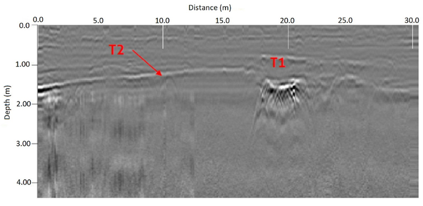 Source: COMPESA 2022.
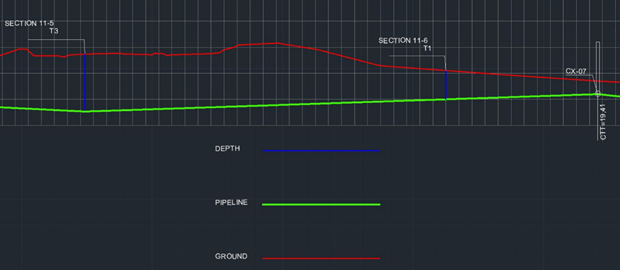
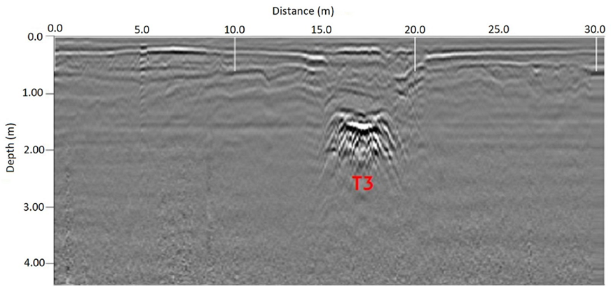 Source: COMPESA 2022.
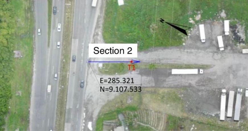
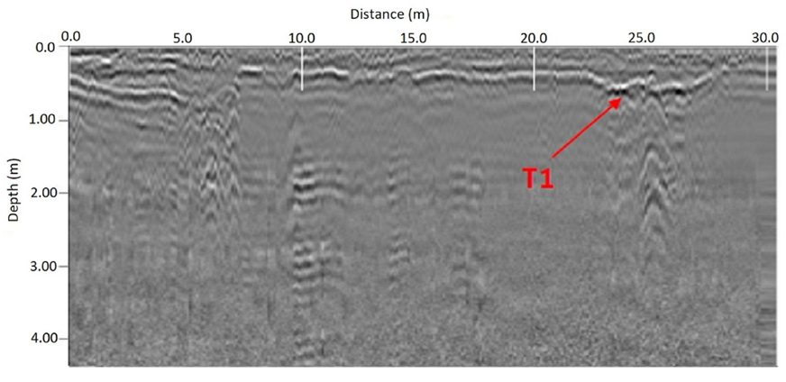 Source: COMPESA 2022
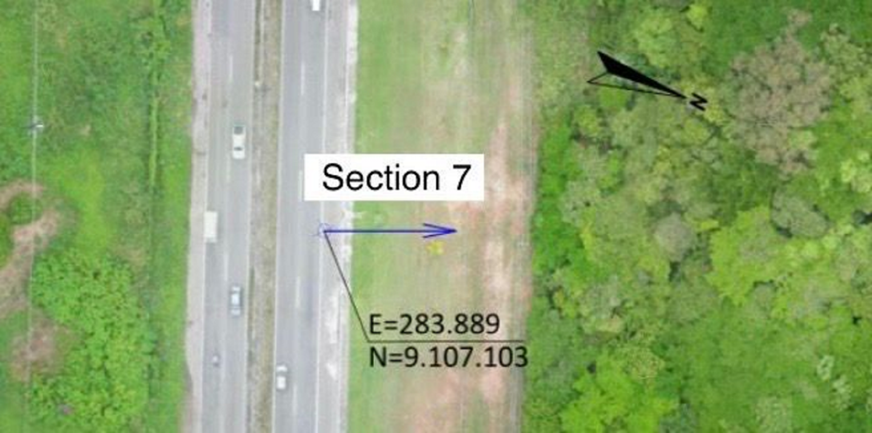
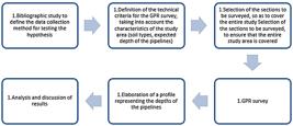
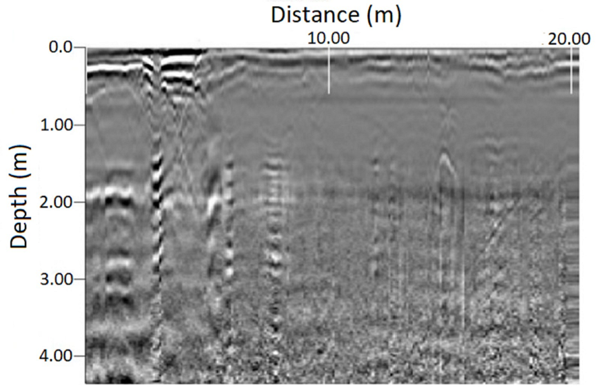 Source: COMPESA 2022.