SOIL SPATIAL HETEROGENEITY IN VINEYARDS FOR FINE WINE PRODUCTION: PEDOLOGICAL SUPPORT FOR PRECISION VITICULTURE
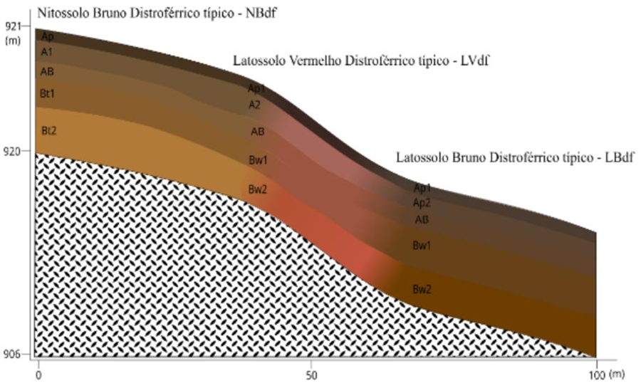
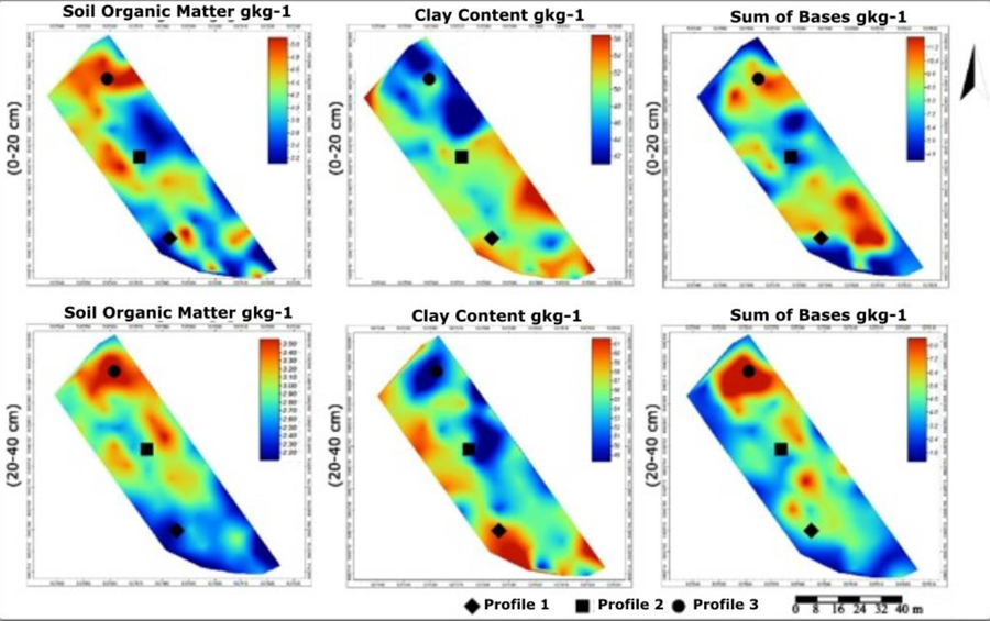
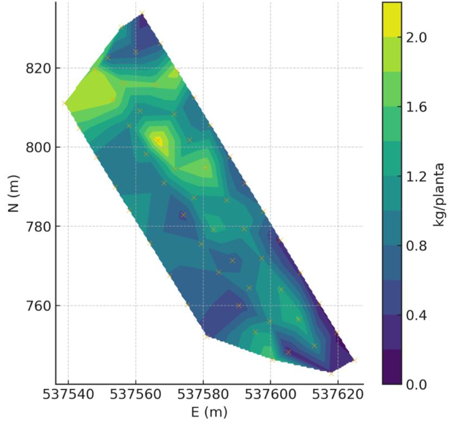
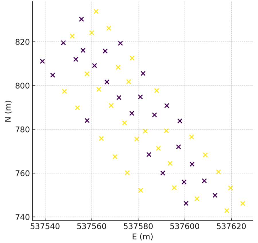
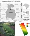
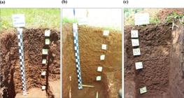
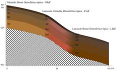
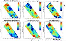
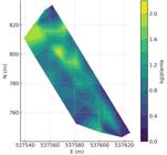
Soil spatial variability in vineyards is often underestimated in management planning. This study assessed pedological heterogeneity in a high-altitude vineyard (0.4 ha) by sampling soils adjacent to 68 vines at two depths (0–20 and 20–40 cm) for texture, soil organic carbon, and exchangeable cations, in addition to profile description and classification. Three soil classes were identified (NITOSSOLO BRUNO, LATOSSOLO VERMELHO, and LATOSSOLO BRUNO) with short-range transitions and marked differences in clay, carbon, and fertility. Interpolated maps showed patterns consistent with topography. The results yield information layers useful for soil-management planning and may, in subsequent studies integrating plant and yield data, support the delineation of edaphically homogeneous zones and spatially differentiated recommendations. We integrated edaphic maps with per-vine production metrics and derived operational zones, configuring a proof-of-concept for precision management at the block scale.
KEYWORDS:
precision viticulture; high-altitude soils; management zones
 Thumbnail
 Thumbnail
 Thumbnail
 Thumbnail
 Thumbnail
 Thumbnail